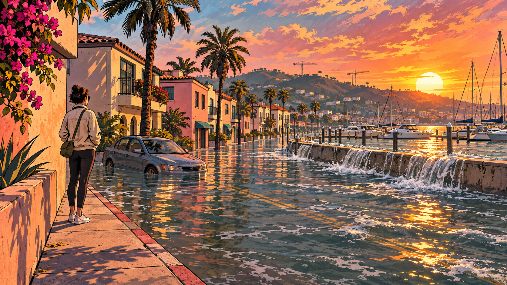
Grand Theft Auto V’s fictional city has some real-world weak spots.
When researchers mapped rising seas in Los Santos, the game’s stand-in for Los Angeles, its low-lying marina and canals were among the first places to go underwater. The pattern resembled flood maps of the real city, the team reports in a paper in Geoscience Communication.
Permafrost researcher Hugues Lantuit of Germany’s Alfred Wegener Institute and coauthor Paul Nörenberg used a community-made terrain model of the game world. They checked shoreline locations by flying over beaches in a virtual helicopter, then calculated flood extents outside the game using projected sea levels, sometimes with an added storm water level.
The similarities were clearest around the game’s version of Venice Beach and Marina del Rey. But Los Santos leaves out the Ballona Creek wetlands, where real flooding could extend farther inland. The fictional landscape captures some coastal vulnerabilities while compressing or omitting others.
The maps also have limits. They show land below a chosen water level, without simulating waves, erosion, sinking land or how water would move around buildings. They could overstate where water would actually reach during a flood.
For players who know these streets, the authors suggest, familiar surroundings could make rising seas easier to grasp. The study did not test whether players learned more or felt more engaged.
“The potential for game engines to serve as platforms for dynamic, real-time climate impact visualisation,” the researchers concluded, “represents a frontier that geoscience communicators and game developers should explore together.”
The research
Paul Nörenberg and Hugues Lantuit
Geoscience Communication · Published
DOI: 10.5194/gc-9-537-2026